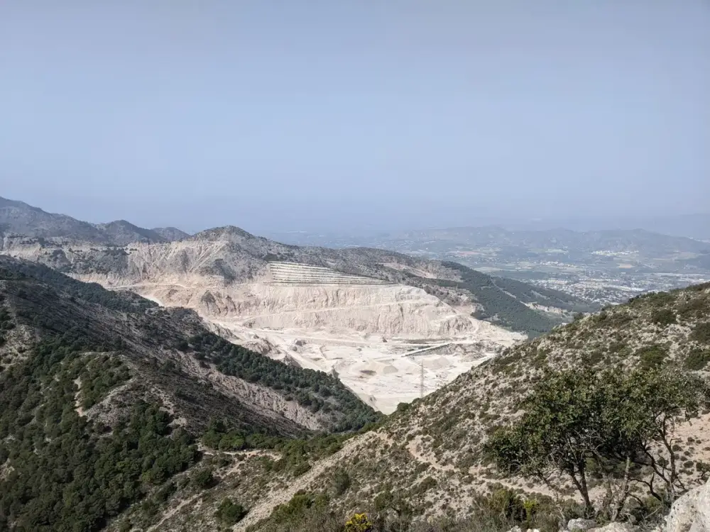
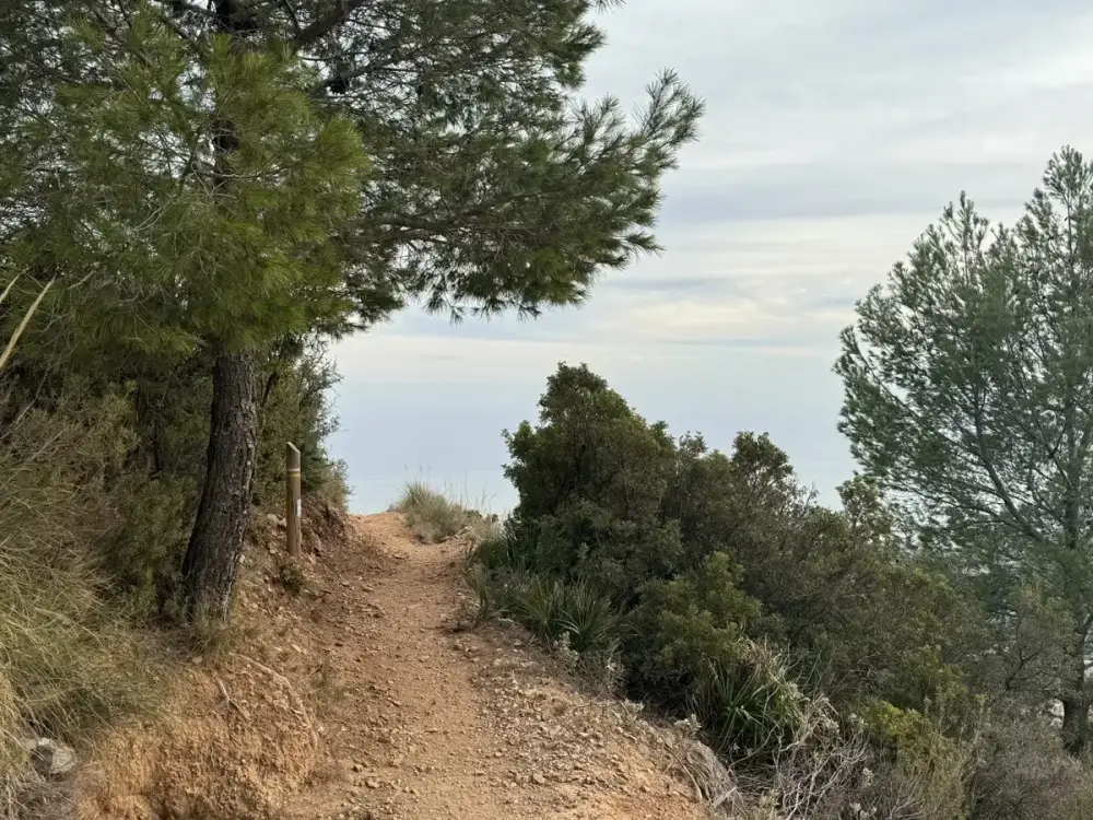
Benalmádena - Monte Calamorro vía R3-R2
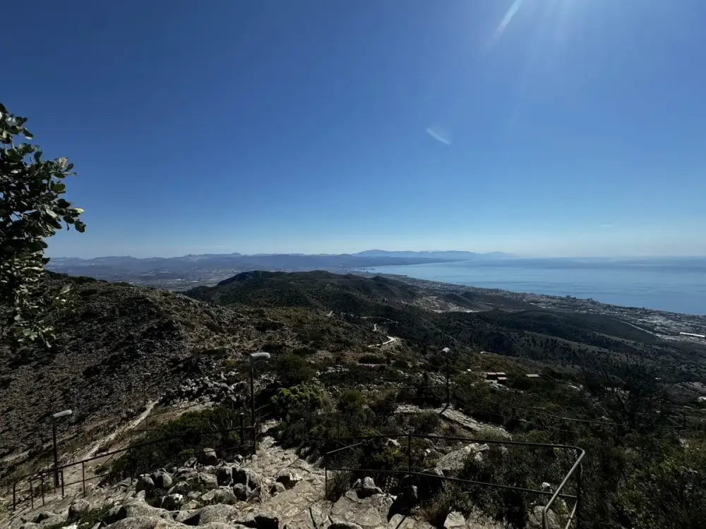
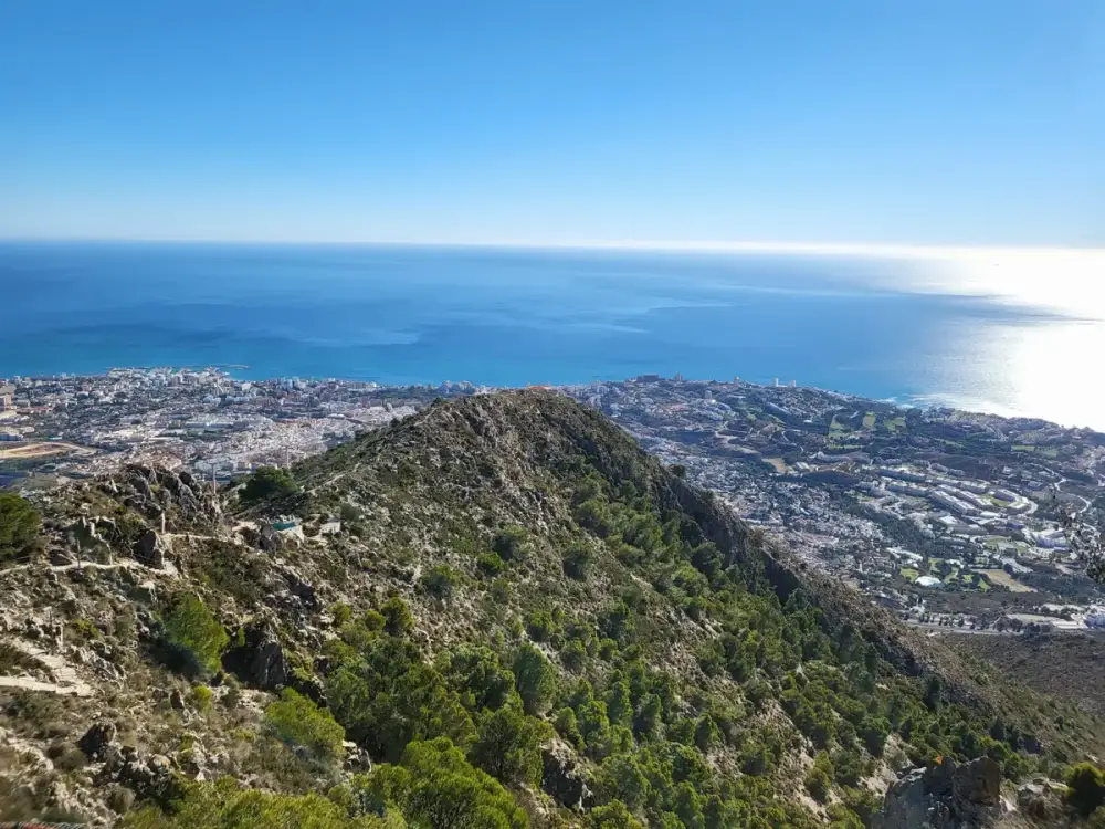
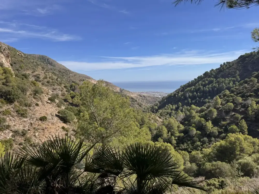
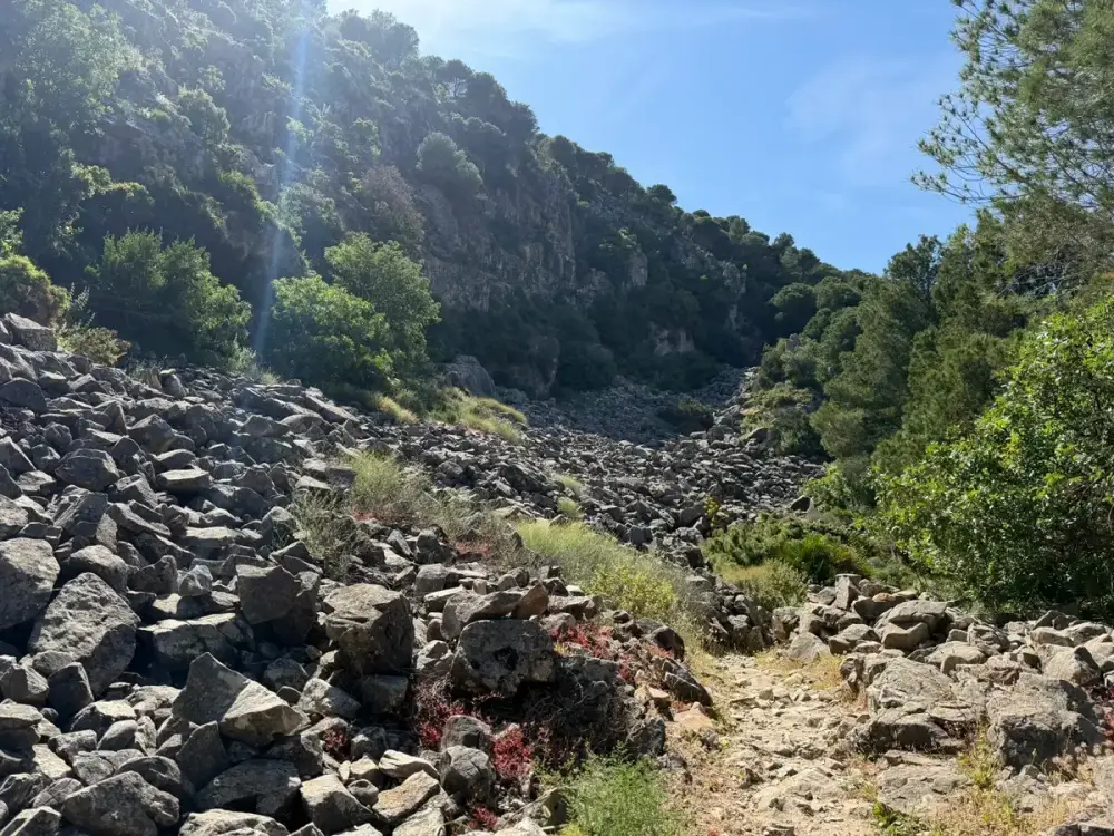
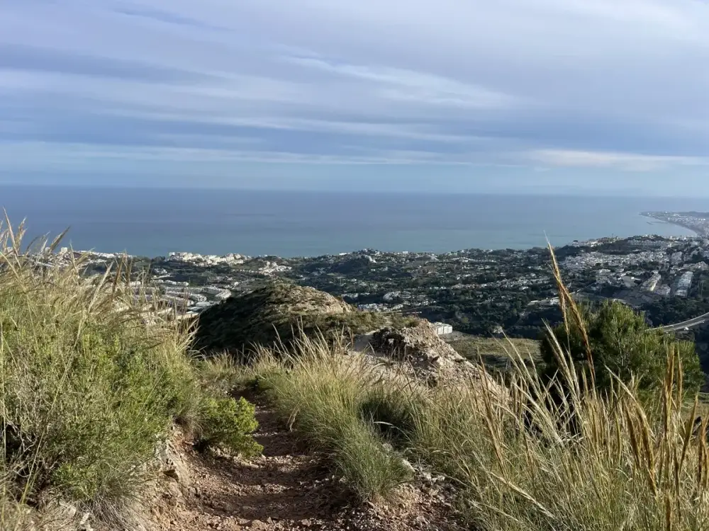
A demanding loop from Benalmádena to Monte Calamorro through the R3 and R2 trails, with wooded sections, exposed slopes and broad Mediterranean views from the summit.
- Hard
- 11.6 km · 4.5–5 hr
KingfisherApartmentsHiking and walking · Benalmádena
Step beyond the beach for coastal walks, rocky mountain paths and far-reaching views across the Costa del Sol.

Kingfisher Apartments
Benalmádena makes it wonderfully easy to combine the Mediterranean with the mountains. From Kingfisher, relaxed promenade walks begin close to home, while Arroyo de la Miel, Benalmádena Pueblo and the slopes of Monte Calamorro open the way to more challenging days on foot.
The ten routes below are the current top trails shown by AllTrails for Benalmádena. Together they cover easy seafront walks, shorter summit paths and hard mountain loops. Each card links directly to its independent AllTrails page, where you can see the map, elevation profile and latest community updates.
Choose a route that feels right for your group, start early in warm weather and take more water than you think you will need. Mountain surfaces can be steep, rocky and exposed, so check the forecast, current access and cable-car timetable before leaving the apartment.
Getting aroundIncluded
More active ways to explore
Compare another activity break, discover more of Benalmádena or choose the apartment that suits your stay.
AllTrails · Benalmádena
Distances, estimated times and difficulty labels below reflect the current AllTrails list when this guide was reviewed. Open the route page for the map and latest conditions before setting out.

A demanding loop from Benalmádena to Monte Calamorro through the R3 and R2 trails, with wooded sections, exposed slopes and broad Mediterranean views from the summit.

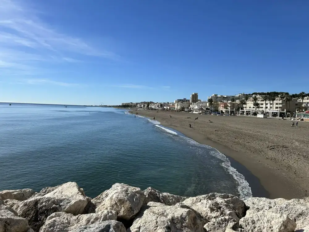
A substantial coastal out-and-back past La Carihuela, Bajondillo, Lido and Los Álamos. It is more promenade than mountain trail, with beaches and places to pause along the way.

Beginning near the Stupa and Butterfly Park, this hard route passes the historic ochre mine before climbing towards Cerro del Moro and expansive views along the Málaga coast.
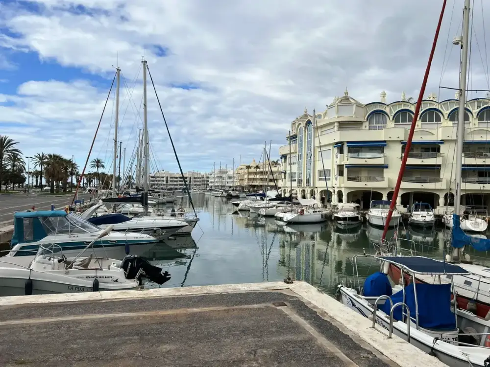
The gentlest option in the list: an easy waterfront walk from Puerto Marina along Playa Malapesquera to the red seafront landmark of Castillo El Bil Bil.

A rocky PR-A 54 ascent from the edge of Arroyo de la Miel towards Monte Calamorro. Expect steep sections, mountain scenery and a rewarding sense of height above the coast.
A compact but hard mountain circuit using the R4 and R3 trails. The open R4 has steep, loose-rock sections, while the route rewards walkers with far-reaching mountain and coastal views.
A shorter hard hike into the Tajo del Quejigal, mixing welcome shade with a steep climb, uneven ground and loose stones. Strong footwear matters here.
A shorter mountain outing towards the Cueva del Toro hermitage and cross, with steep tracks and panoramic views over the Mediterranean and surrounding hills.
A short summit-area walk associated with the cable-car station. It is the easiest way to add mountain views to the day, but always check the cable car’s live operating calendar first.
An intense route to the Calamorro summit over rocky, sandy and sometimes scrubby ground. Its modest distance should not disguise the steep terrain or the care needed on the descent.
A happier day on the trail
The mountains rise quickly from the coast. A route that looks short on a map can still feel serious when heat, loose stone and elevation are added.
Check AEMET’s forecast and warnings, then open the latest route map. Access, surfaces and waymarking can change, especially after poor weather or maintenance.
Use cooler morning hours, carry generous water and bring sun protection. On very hot or unsettled days, choose the promenade, a shorter walk or a different activity.
Many mountain routes include loose rock, steep descents and exposed paths. Supportive footwear with reliable grip is far more useful than ordinary beach shoes.
If the cable car forms part of your plan, check its opening calendar and final descent before you leave. Weather can interrupt operation, so keep a route and timing that work independently.
Live information
Use AllTrails for the individual route pages and the official local sources for summit access, weather and current operating information.
Kingfisher Apartments
Tell us your dates and the kind of walking you enjoy. We can help with apartment availability and practical local transport information, while you choose and assess each route for yourself using the live trail sources.
Ask about a hiking stayGood to know
Yes. The current AllTrails top ten includes an easy waterfront route from Puerto Marina to Castillo El Bil Bil and a short summit-area walk near the cable car, as well as harder mountain routes.
Yes. Several linked routes climb or cross Monte Calamorro, but they differ considerably in distance, gradient and terrain. Read the live route page and choose within your experience.
Some guests use the cable car to reach the summit area and begin a shorter walk. Tickets and operation are independent from Kingfisher; check the official calendar and conditions directly.
The exposed Sierra de Mijas can become extremely hot. Start early, carry plenty of water and choose a gentler alternative when heat or weather warnings make the mountains a poor choice.
No guided hiking service is offered on this page. The route links are provided to help guests research their own plans, assess suitability and check current conditions.